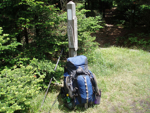
John's AT Backpacking Journal
This page is a record of my travels on the Appalachian Trail. Most of my hiking came between 2004 and 2007, although my first section hikes were in 1997. The hike descriptions include estimates for the amount of elevation gained on each hike, based on elevation data given in several sources. These estimates put the total elevation climbed on the trail at 345,000 feet, or 65 miles. Another reference indicates that hiking the entire trail entails a total of 91 miles of elevation gain; this higher total reflects the fact that estimates based on elevation of various landmarks do not take into account all of the ups and downs between landmarks. Thus my estimates for any given day are roughly 70% of the true climbing.
Click on each link for a description and pictures from the hike. The KML links will open a Google Earth version of the trip.
Dick’s Creek Gap to Amicalola Falls March 2005 | Google map | KMZ
Dick’s Creek Gap to Fontana Dam March 2006 | Google map | KMZ
Smokies to Roan Mountain 2007 | Google map | KMZ
Roan Mountain to Settlers Museum June 2005 | Google map | KMZ
Central Virginia April 2007 | Google map | KMZ
Day Hikes and Weekend backpacking trips (covering the region from Roanoke to Harriman State Park. This includes northern Virginia, Maryland, Pennsylvania, New Jersey, and a little of New York) | Google maps: Shenandoah | Maryland | Pennsylvania and New Jersey | KMZ VA-MD | KMZ PA-NJ
Harriman State Park to Manchester, VT 2004 | Google map | KMZ
Manchester to Gorham 2005 | Google map | KMZ
US 2/Gorham, NH to Katahdin 2006 | Google map | KMZ
Note: I did not have a digital camera until recently, and so I don't have good digital images of many trail sections. I would like to credit my sources for other images, which come from hikers who have been in the same places. Many of my linked images come from the AT trail parking database. Special thanks to dcull @ concoll.edu and askus3 @ optonline.net for permission to copy and re-post their images. There are also a number of links to the gallery at Whiteblaze.
View Appalachian Trail in a larger map